Historic Aerial Images - BG Gage Collection
Historic aerial images of Fort Hancock. Click on the thumbnail to see a higher resolution version of each image. Credit: US Army Heritage and Education Center - BG Phillip S Gage Collection
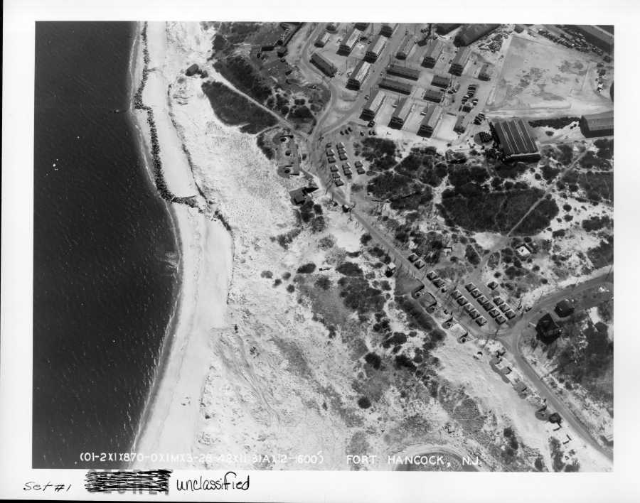
1. The north end of the 9 gun battery is in the upper part of the image, with the original Battery Peck, Battery Engle, Battery Morris, and Battery Urmston visible. View is to the southeast...
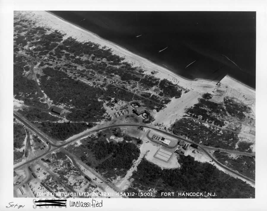
2. Battery Gunnison (before it became New Battery Peck) is visible as a reference point in the center of this image, looking generally east...
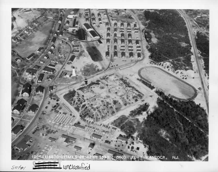
3. The mortar battery, serving as the Harbor Defense Command Post (HDCP) that controlled all the forts within the New York Harbor Defenses (Forts Wadsworth, Hamilton Tilden, Totten, and Hancock) and the Sandy Hook lighthouse are visible in the center of this image, looking generally north. Also note the three M1917 3-inch AA guns located on top of the mortar battery....
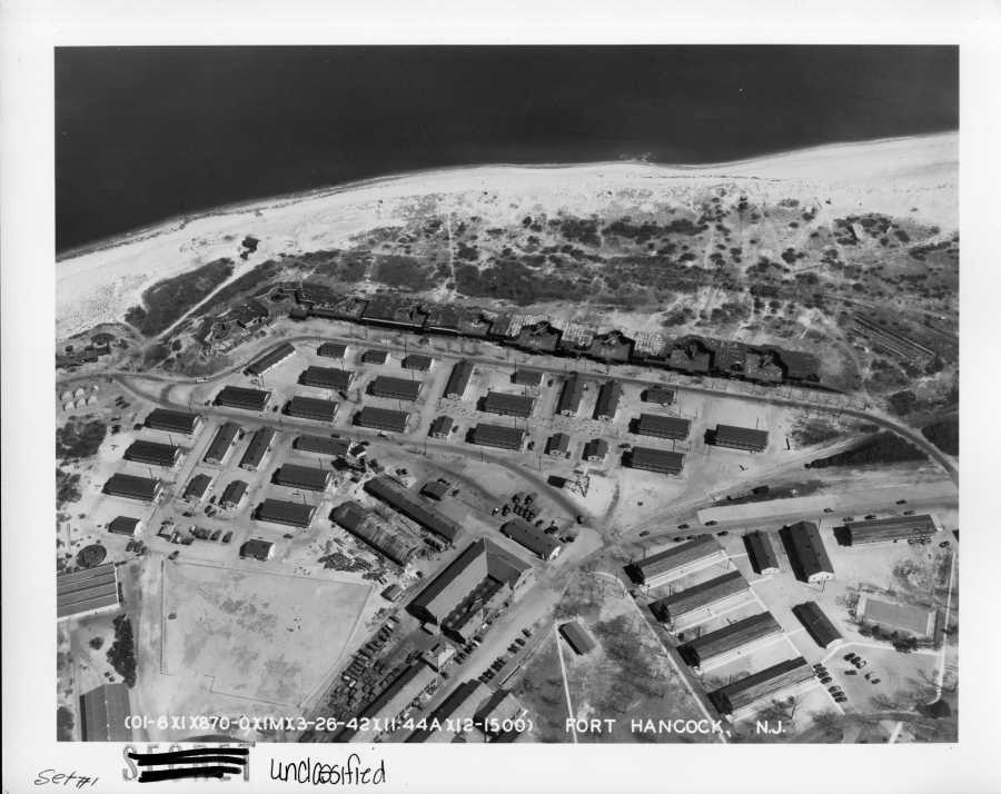
4. 9-gun battery is in the center of this image; the present parking area is occupied by numerous temporary barracks (looking east)...
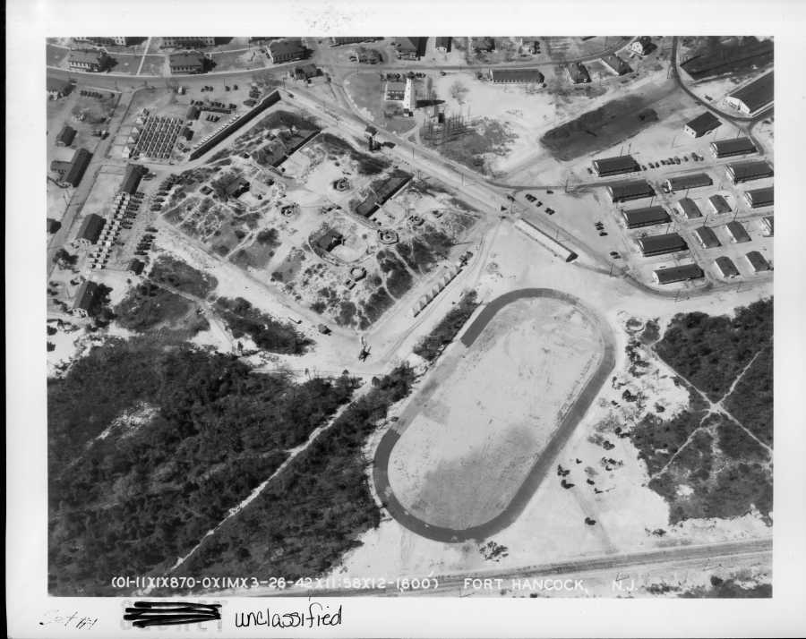
5. This image also shows the mortar battery (serving as the HDCP) and the Sandy Hook lighthouse, looking toward main post (generally west)...
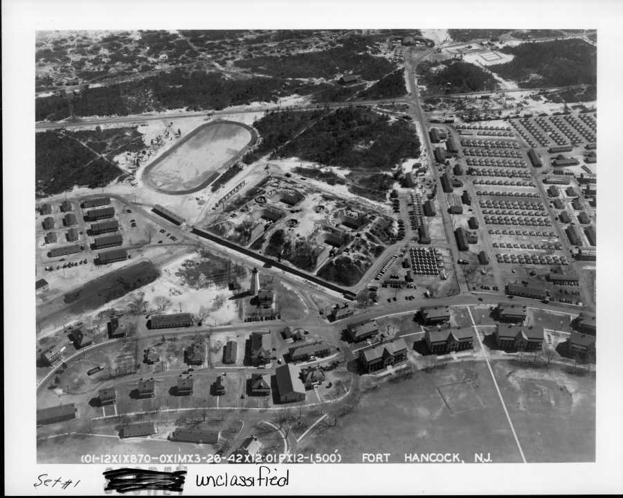
6. Another view of the mortar battery (serving as the HDCP), also featuring several company barracks and numerous tent encampments, looking generally east...
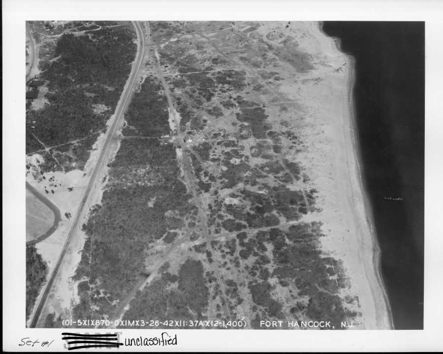
7. The beach east of the mortar battery (HDCP) and main post area, the tip of Battery Granger is in the upper left. See if you can find the four 155mm M1918 GPF field artillery guns and their emplacements (looking north)...
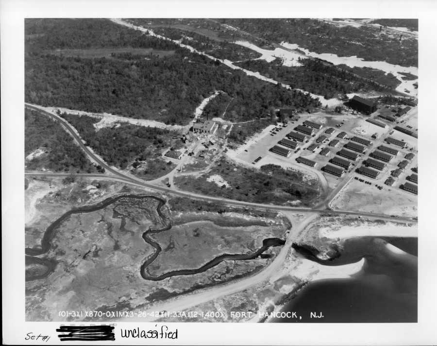
8. This view is looking east, the water treatment plant is in the center of the image with "Camp Low" and the observation balloon hangar to the right...
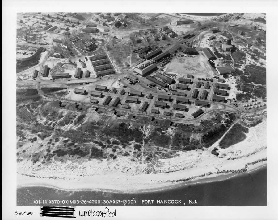
9. View of 9-gun battery looking south, showing extensive temporary barracks, Battery Potter (serving as the Harbor Entrance Command Post) to the left, and mine warehouses/mine loading facilities, and heavy maintenance facilities for the railway artillery and quartermaster motor pool in the upper center...
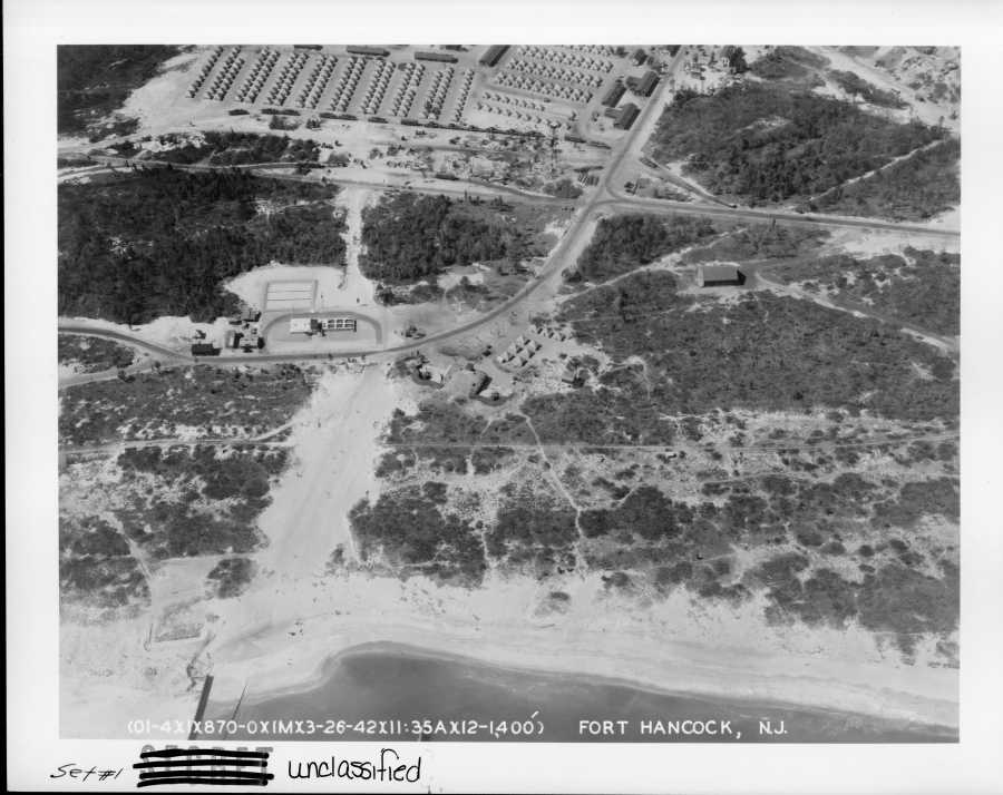
10. Battery Gunnison (before it became New Battery Peck) is in the center of the image which is looking west toward main post with a tent camp in the current parking lot G...
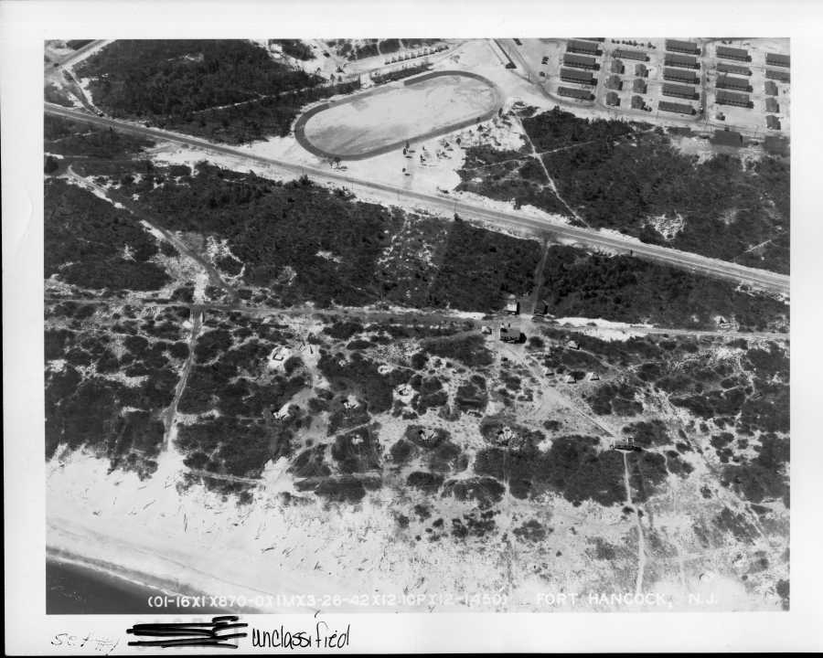
11. Looking east towards the mortar battery/HDCP which is just visible at the top. See if you can find the four M1918 155mm GPF field artillery guns and their emplacements. Also note the M1 8-inch railroad gun in the upper left corner...
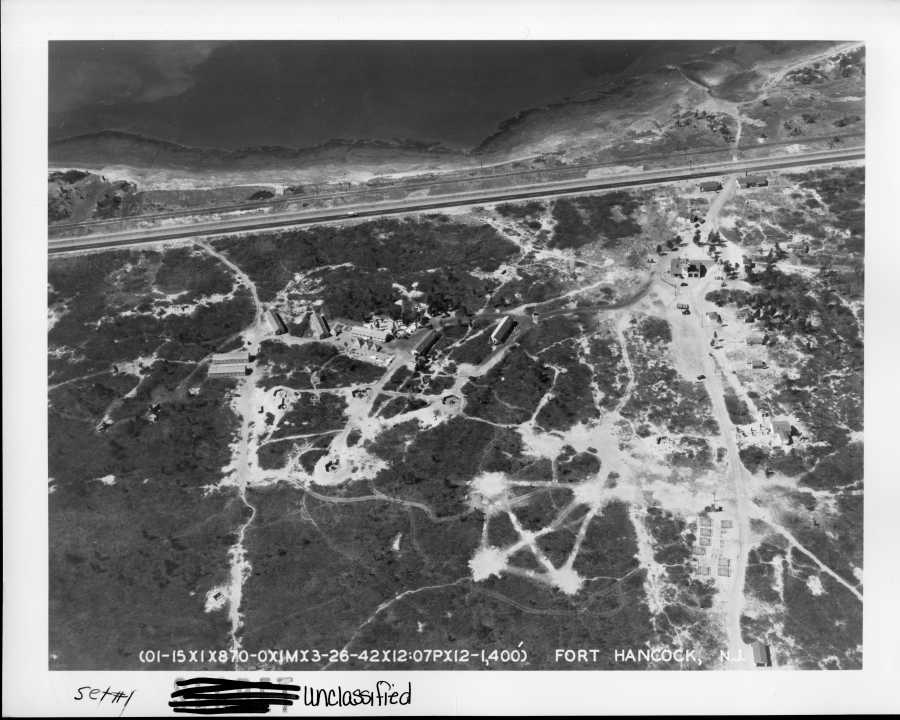
12. Sandy Hook Lifesaving Station in the upper right of the image looking east, with an anti-aircraft battery of 3-inch M1917 guns and an SCR-268 aircraft early warning radar in the center of the image...
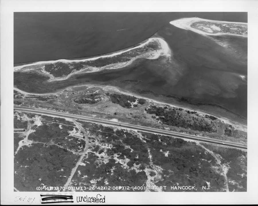
13. Looking east toward Spermaceti Cove; a SCR-268 aircraft early warning radar radar is located in the center left along with a water cooled M2 .50 caliber AA machinegun to the left...
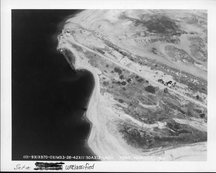
14. Sandy Hook Point area, looking largely north The tall building are mine fire control stations. Also note the two M1918 155mm guns in firing positions with tents for the crews in the center of the image...
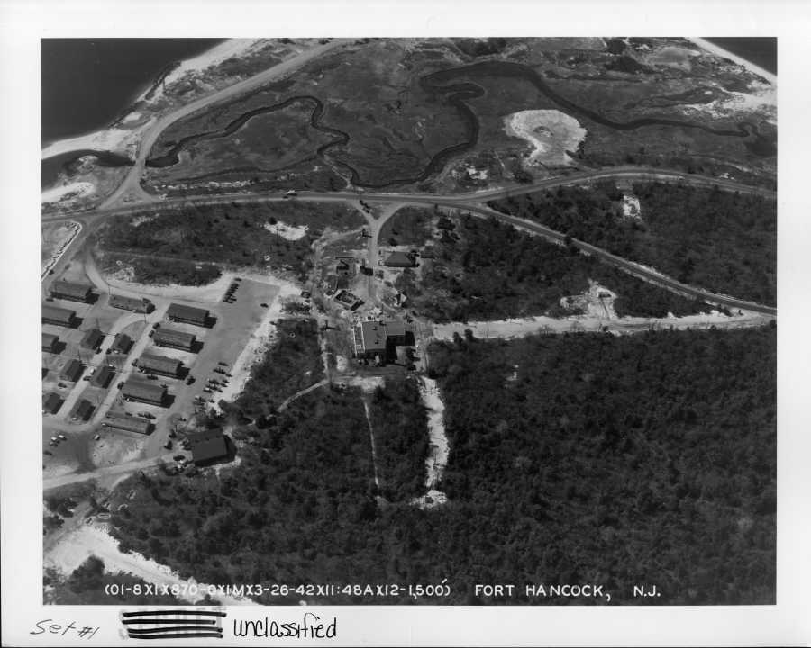
15. Fort Hancock water treatment plant, looking west toward the Battery Arrowsmith (not shown). To the left is Camp Low...
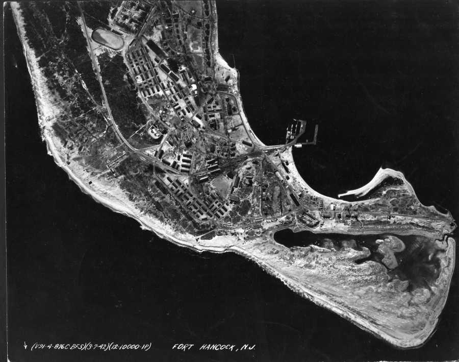
The following 6 aerial orthophotos were taken on 3/7/1942, showing conditions in early WWII
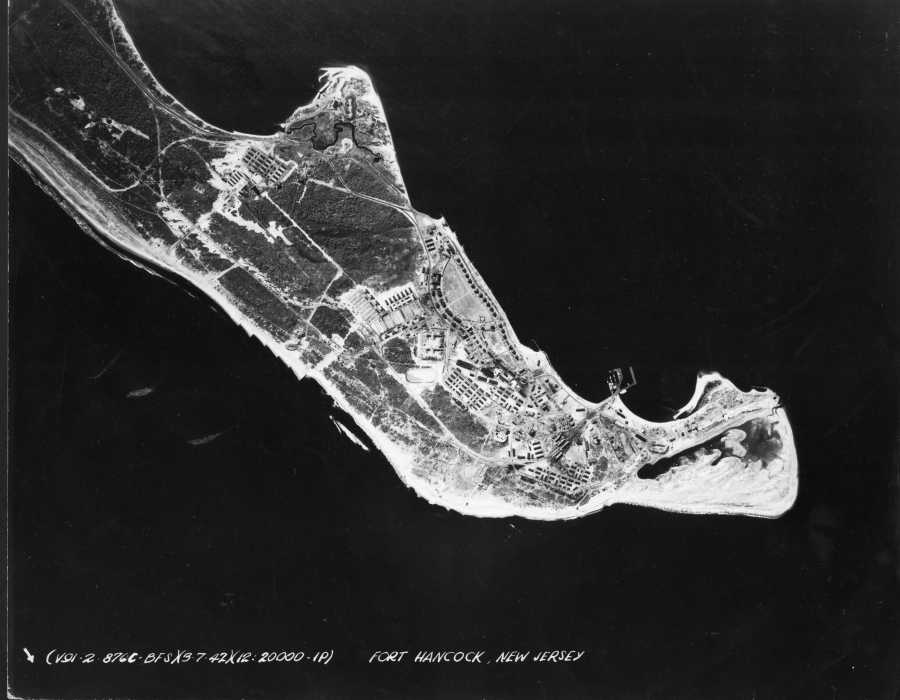
16. Broad scale view of Fort Hancock; bottom right is north in this image...
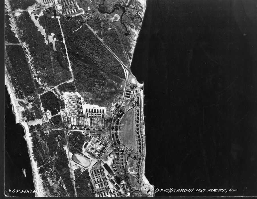
17. Main post area of Fort Hancock, with the mortar battery and the permanent post in the center of the image, north is the bottom of the image...
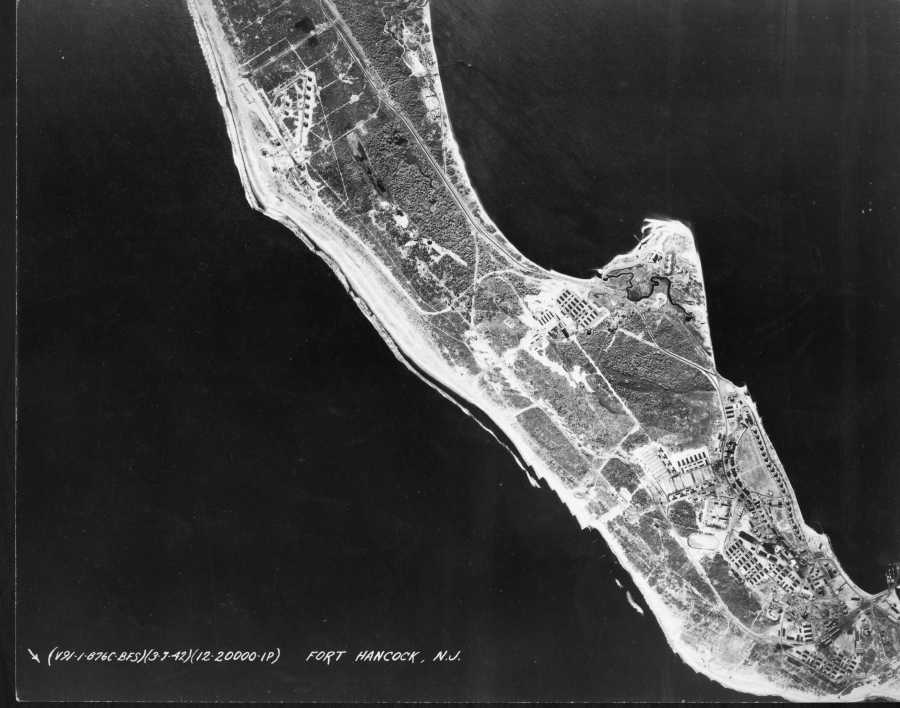
18. The central part of Fort Hancock. North is toward the bottom right; note the railway gun emplacements in the upper left. Also note Battery Kingman and Mills in the process of being casemated (upper part of the photo on the right side of the peninsula). Battery Mills is still open and Battery Kingmans's two emplacements are casemated and are in the process of being backfilled...
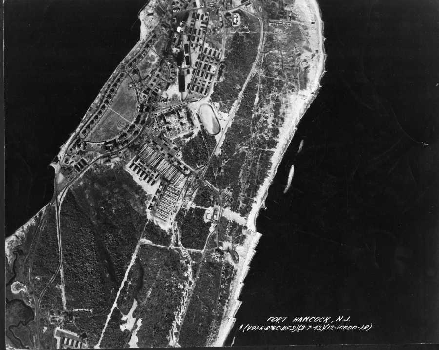
19. Main post area of Fort Hancock, north is up...
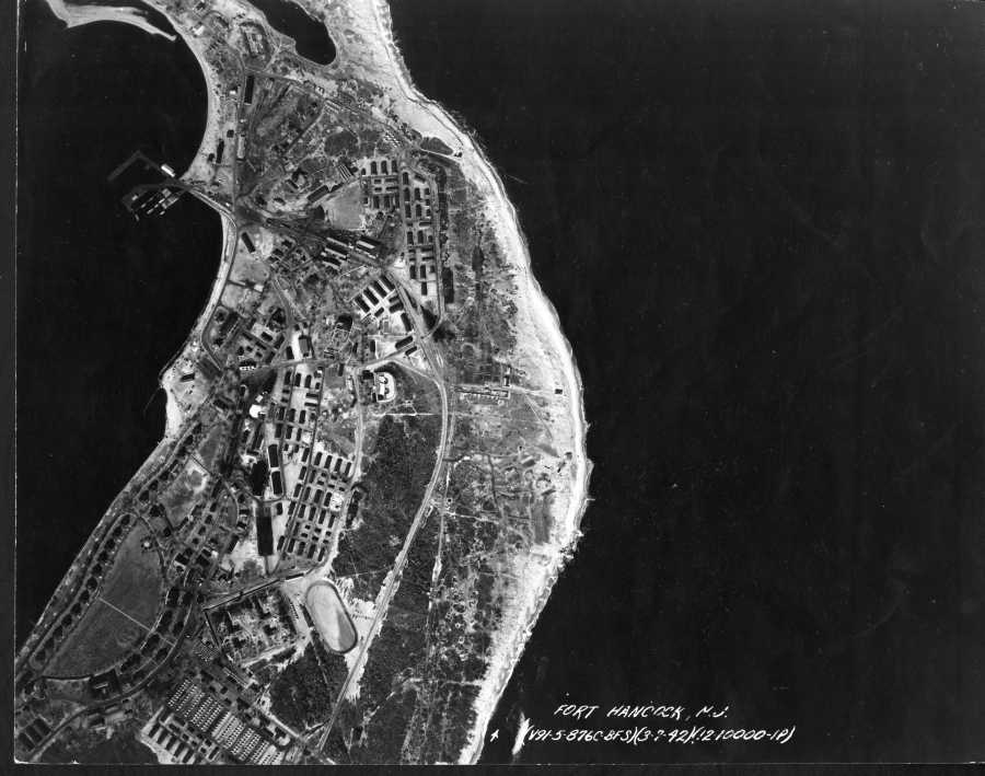
20. Closer view of the Main post area of Fort Hancock, north is up...
21. Another view of the main post area, in this case north is generally down...
Home


